


Military maps and plans are drawn and used for the purposes of defence, fortification, military policy, strategy and to deal with the threat of rebellion, invasion and war.
They are also used to record an action retrospectively and, as such, they are an invaluable military record. Furthermore, and importantly, they provide considerable social-historical and non-military information about the surrounding townscape and landscape; its development agriculturally, industrially and demographically.
Official military or topographical maps did exist in the early seventeenth-century, but these were mainly prepared for defence against invasion, fortification of the northern border with Scotland and of naval dockyards and depots. In the wake of the Civil Wars in England (but not Wales) only the major battles were retrospectively mapped and recorded.
In Wales, with the exception of the mapping of some fortifications, the military mapping seems to be non-existent. In Scotland, the mapping concentrated on the rebellion and its subjugation, while in Ireland the mapping tended to focus on Protestant colonialization and the subjugation of the Catholic Irish.
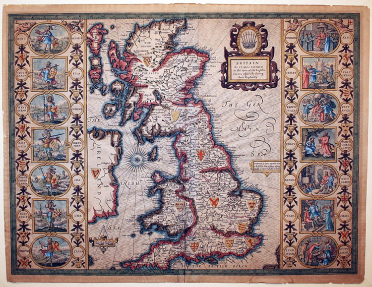
By the early seventeenth-century two cartographers, Christopher Saxon and John Speed, had mapped Britain, but despite advances in surveying technology and printing from engraved copper plates, their works better resembled Tolkien’s map of Middle-earth than the national mapping that appeared 150 years later in the wake of the Jacobite rising and the threat of Napoleonic invasion. (Read more.)


No comments:
Post a Comment