A place for friends to meet... with reflections on politics, history, art, music, books, morals, manners, and matters of faith.
A blog by Elena Maria Vidal.
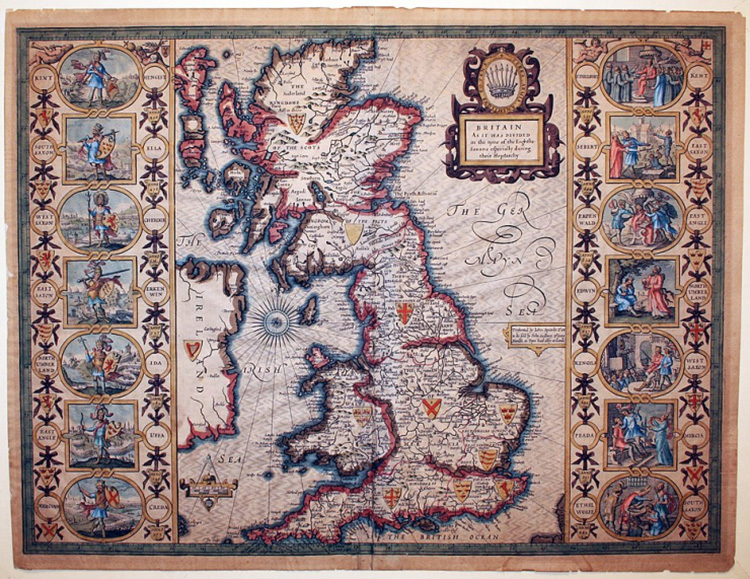
What’s in a name? The title of the wars is, in itself, a misnomer. Between 1642 and 1651 there were in fact three English Civil Wars which raged across England, Wales, Scotland and Ireland. On this basis alone, the term English Civil War seems
entirely inadequate. The term ‘the Wars of the Three Kingdoms’ is the
latest offering – and this serves the purpose – not perfectly, but
better, perhaps, that all that has gone before. Military maps and plans are drawn and used for the purposes of defence,
fortification, military policy, strategy and to deal with the threat of
rebellion, invasion and war. They are also used to record an action retrospectively and, as such,
they are an invaluable military record. Furthermore, and importantly,
they provide considerable social-historical and non-military information
about the surrounding townscape and landscape; its development
agriculturally, industrially and demographically. (Read more.)
Courteous comments are welcome. If a comment is not published, it may be due to a technical error. At any rate, do not take offense; it is nothing personal. Slanderous comments will not be published. Anonymity may be tolerated, but politeness is required.
I would like to respond to every comment but my schedule renders it impossible to do so. Please know that I appreciate those who take the time to share their thoughts.
No comments:
Post a Comment
Courteous comments are welcome. If a comment is not published, it may be due to a technical error. At any rate, do not take offense; it is nothing personal. Slanderous comments will not be published. Anonymity may be tolerated, but politeness is required.
I would like to respond to every comment but my schedule renders it impossible to do so. Please know that I appreciate those who take the time to share their thoughts.